Explore for free
Check the map and compare your options before committing to a plan.
Open the free map
England local route guide
Compare 18 complete mapped routes within 20 km of Bakewell, with distance, climbing, duration, surface detail and source links.
Narrow the choice
Focused collections appear only when at least five complete routes support the comparison.
Compare the mapped facts
Featured ordering uses source completeness and waymarking—not invented popularity or ratings.
Across this collection, mapped distance runs from 3.7 to 88.7 km. The highest-climb record gains 1,322 m. The route snapshot was generated ; this page was updated .
Practical route questions
Answers come from the route records shown on this page and keep the same safety limits.
Skreppa lists 18 complete, named route records near Bakewell. Each result includes distance, mapped climbing, estimated time, activity, difficulty and a source link.
The listed routes range from 3.7 km (Buxton Cycle Route 1) to 88.7 km (Sheffield Country Walk). Use the full route page to compare climbing, duration, shape and surface information.
7 routes are mapped as easy, and 2 routes are loops. Difficulty is source-derived guidance rather than a guarantee of suitability.
Open the route record, inspect its mapped geometry and source, then verify current access, closures, weather, daylight and local notices. Carry an appropriate offline navigation backup.
Mapped route records
Check access, weather, closures and local notices before setting out.
Near Brookside, Derbyshire
5 Cycle Route is a complete cycling route mapped from OpenStreetMap. It covers 4.4 km as a point to point route.
Near Tissington, Derbyshire
547 Cycle Route is a complete cycling route mapped from OpenStreetMap. It covers 13.1 km as a point to point route.
Near Hartington, Derbyshire
548 Cycle Route is a complete cycling route mapped from OpenStreetMap. It covers 8.4 km as a point to point route.
Near Wirksworth, Derbyshire
Ecclesbourne Way is a complete hiking route mapped from OpenStreetMap. It covers 3.8 km as a point to point route.
Near Longway Bank, Derbyshire
High Peak Trail is a complete mountain biking route mapped from OpenStreetMap. It covers 27.2 km as a point to point route.
Near Cowlow, Derbyshire
Monsal Trail is a complete cycling route mapped from OpenStreetMap. It covers 15.4 km as a point to point route.
Near Parsley Hay, Derbyshire
Tissington Trail is a complete mountain biking route mapped from OpenStreetMap. It covers 21.3 km as a point to point route.
Near Rowsley, Derbyshire
White Peak Loop is a complete cycling route mapped from OpenStreetMap. It covers 7.4 km as a point to point route.
Near Peak Dale, Derbyshire
Buxton Cycle Route 1 is a complete cycling route mapped from OpenStreetMap. It covers 3.7 km as a point to point route.
Near Buxton, Derbyshire
Buxton Cycle Route 5 is a complete cycling route mapped from OpenStreetMap. It covers 5.0 km as a point to point route.
Near North Wingfield, Derbyshire
Near Pomeroy, Derbyshire
Near Freebirch, Derbyshire
Near Flash Bar, Staffordshire
Near Bakewell, Derbyshire
Near Hallam Moors, Derbyshire
Near Clay Cross, Derbyshire
Near Shatton, Derbyshire
Your research: your Bakewell shortlist
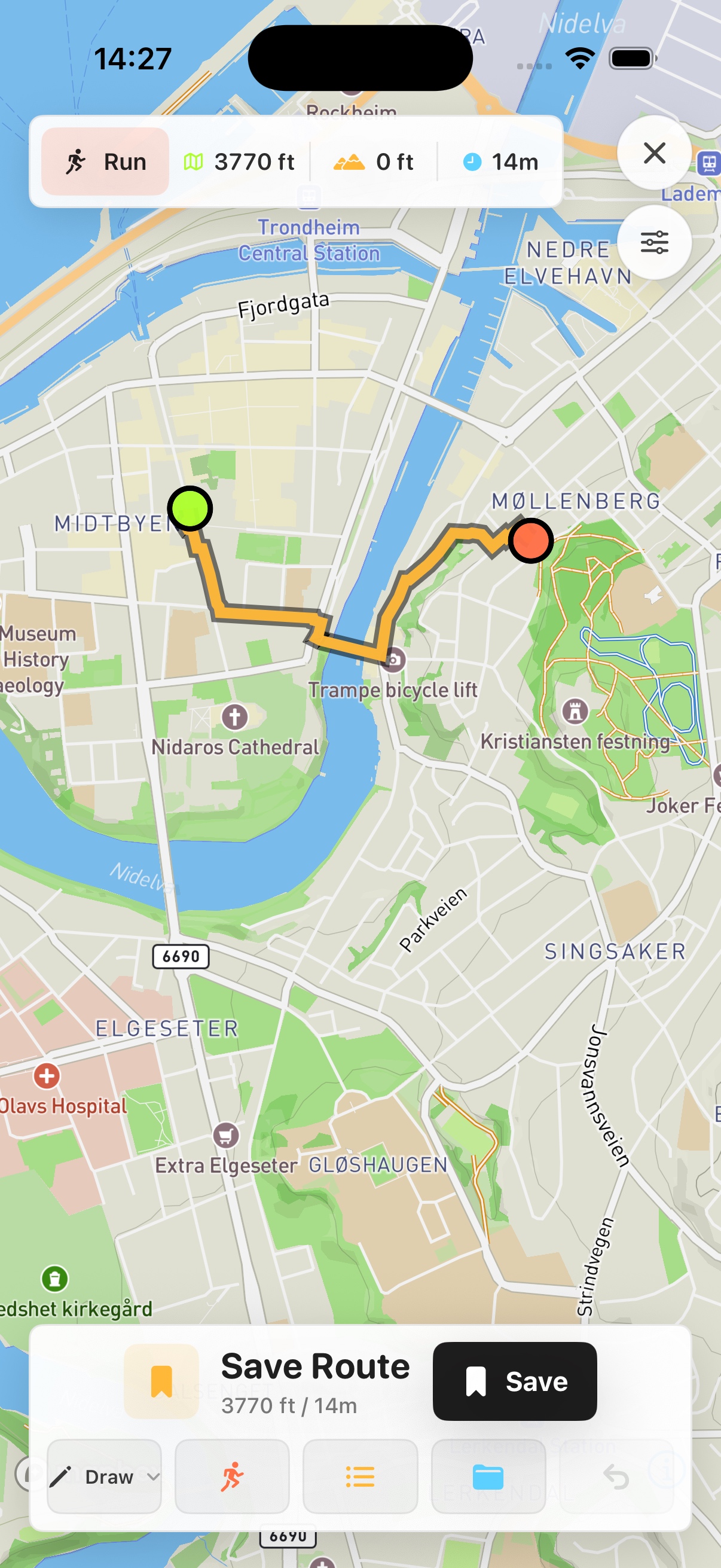
Prefer a native map on your phone? See Skreppa’s iPhone and iPad app, illustrated here with a real route-planning screen. Check the App Store for current features, compatible devices and purchase options.
This guide remains available on the web. The Store link does not import this guide, transfer a route or start navigation.