Explore for free
Check the map and compare your options before committing to a plan.
Open the free map
England local difficulty guide
Compare 5 complete routes mapped as moderate within 20 km of Gloucester. Difficulty is source-derived guidance, so check the full route and current conditions.
Compare the mapped facts
Featured ordering uses source completeness and waymarking—not invented popularity or ratings.
Across this collection, mapped distance runs from 13.1 to 16.4 km. The highest-climb record gains 505 m. The route snapshot was generated ; this page was updated .
Practical route questions
Answers come from the route records shown on this page and keep the same safety limits.
Skreppa lists 5 complete, named route records near Gloucester. Each result includes distance, mapped climbing, estimated time, activity, difficulty and a source link.
The listed routes range from 13.1 km (Poets' Path No 1) to 16.4 km (Walk Around Stroud (The WAS Way)). Use the full route page to compare climbing, duration, shape and surface information.
0 routes are mapped as easy, and 3 routes are loops. Difficulty is source-derived guidance rather than a guarantee of suitability.
Open the route record, inspect its mapped geometry and source, then verify current access, closures, weather, daylight and local notices. Carry an appropriate offline navigation backup.
Mapped route records
Check access, weather, closures and local notices before setting out.
Near Four Oaks, Gloucestershire
Daffodil Way is a complete walking route mapped from OpenStreetMap. It covers 14.5 km as a loop route.
Near Ketford, Gloucestershire
Poets' Path No 1 is a complete walking route mapped from OpenStreetMap. It covers 13.1 km as a loop route.
Near Stroud, Gloucestershire
Walk Around Stroud (The WAS Way) is a complete walking route mapped from OpenStreetMap. It covers 16.4 km as a loop route.
Near Forthampton, Worcestershire
Mercian Way Link is a complete cycling route mapped from OpenStreetMap. It covers 13.9 km as a point to point route.
Near Camer's Green, Worcestershire
Three Choirs Way (Malvern Hills) is a complete hiking route mapped from OpenStreetMap. It covers 15.7 km as a point to point route.
Your research: your Gloucester shortlist
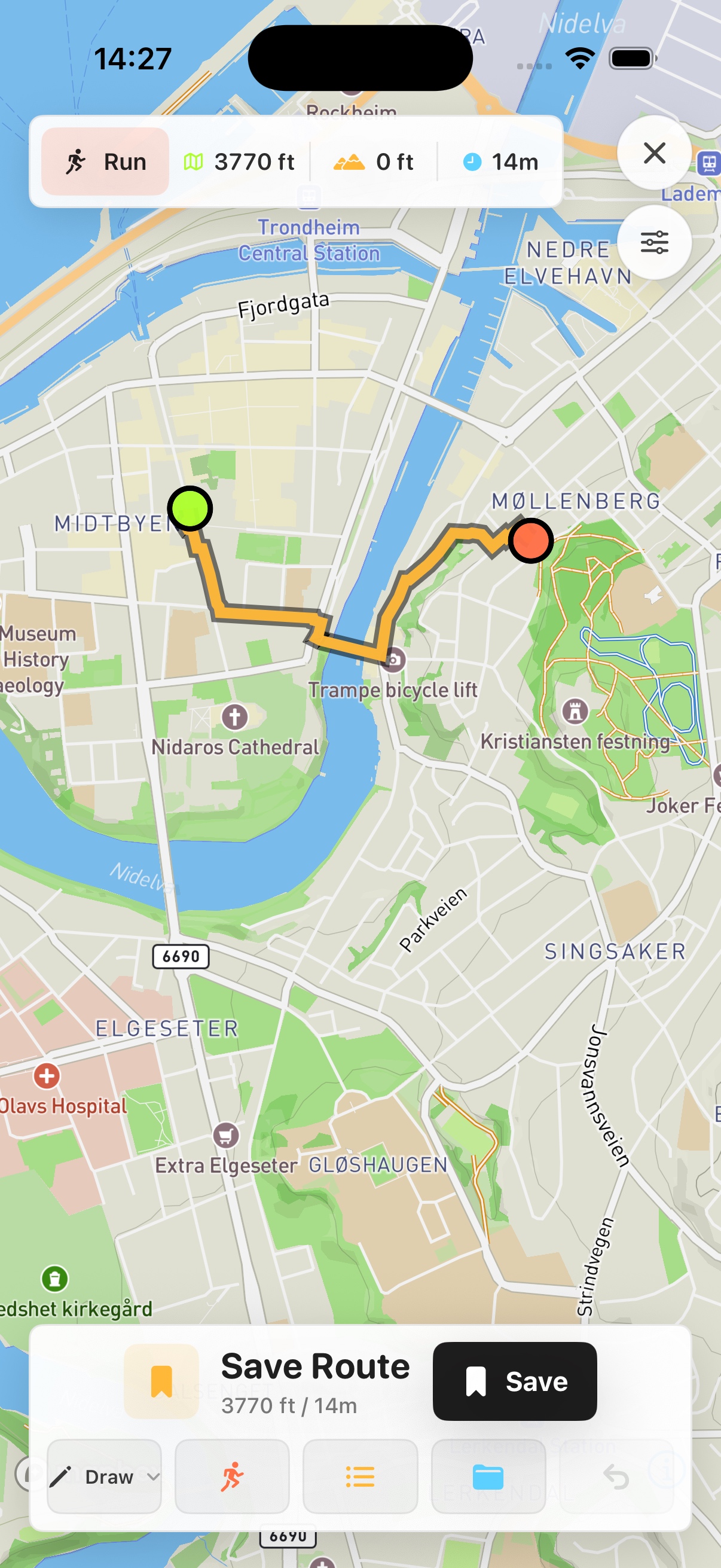
Prefer a native map on your phone? See Skreppa’s iPhone and iPad app, illustrated here with a real route-planning screen. Check the App Store for current features, compatible devices and purchase options.
This guide remains available on the web. The Store link does not import this guide, transfer a route or start navigation.