England local route guide

Walking, hiking and cycling routes near Liss

Compare 26 complete mapped routes within 20 km of Liss, with distance, climbing, duration, surface detail and source links.

26 complete routes20 km fixed search radiusEngland location context

Narrow the choice

Choose activity, difficulty, shape or distance.

Focused collections appear only when at least five complete routes support the comparison.

Compare the mapped facts

Choose by distance, climbing and route shape.

Featured ordering uses source completeness and waymarking—not invented popularity or ratings.

Across this collection, mapped distance runs from 1.8 to 97.8 km. The highest-climb record gains 1,229 m. The route snapshot was generated ; this page was updated .

Practical route questions

What to know before choosing.

Answers come from the route records shown on this page and keep the same safety limits.

How many mapped routes are available near Liss?

Skreppa lists 26 complete, named route records near Liss. Each result includes distance, mapped climbing, estimated time, activity, difficulty and a source link.

What distance range can I compare near Liss?

The listed routes range from 1.8 km (Liss Riverside Railway Wallk) to 97.8 km (Sussex Diamond Way). Use the full route page to compare climbing, duration, shape and surface information.

Are easy or circular routes available near Liss?

21 routes are mapped as easy, and 15 routes are loops. Difficulty is source-derived guidance rather than a guarantee of suitability.

How should I check a route before setting out?

Open the route record, inspect its mapped geometry and source, then verify current access, closures, weather, daylight and local notices. Carry an appropriate offline navigation backup.

Mapped route records

26 routes near Liss.

Check access, weather, closures and local notices before setting out.

#1 · Mountain Bikingeasy

Alice Holt Forest: Family Cycle Route

Near Holt Pound, Hampshire

Alice Holt Forest: Family Cycle Route is a complete mountain biking route mapped from OpenStreetMap. It covers 5.0 km as a point to point route.

Distance
5.0 km
Climb
37 m
Time
0.5 hr
View route details
#2 · Hikingeasy

Long Woodland Trail

Near Gravel Hill, Hampshire

Long Woodland Trail is a complete hiking route mapped from OpenStreetMap. It covers 7.8 km as a loop route.

Distance
7.8 km
Climb
158 m
Time
2.1 hr
View route details
#3 · Cyclingeasy

National Cycle Route 288 Cocking to Midhurst (Proposed)

Near The Marlows, West Sussex

National Cycle Route 288 Cocking to Midhurst (Proposed) is a complete cycling route mapped from OpenStreetMap. It covers 5.0 km as a point to point route.

Distance
5.0 km
Climb
0 m
Time
0.3 hr
View route details
#4 · Hikingmoderate

Octagon Way

Near Stansted Park, West Sussex

Octagon Way is a complete hiking route mapped from OpenStreetMap. It covers 24.4 km as a loop route.

Distance
24.4 km
Climb
363 m
Time
6.4 hr
View route details
#5 · Hikingeasy

Short Woodland Trail

Near Gravel Hill, Hampshire

Short Woodland Trail is a complete hiking route mapped from OpenStreetMap. It covers 3.0 km as a loop route.

Distance
3.0 km
Climb
50 m
Time
0.8 hr
View route details
#6 · Hikingeasy

Space Trail

Near Gravel Hill, Hampshire

Space Trail is a complete hiking route mapped from OpenStreetMap. It covers 2.9 km as a point to point route.

Distance
2.9 km
Climb
82 m
Time
0.8 hr
View route details
#7 · Cyclingeasy

Bepton to Midhurst

Near Midhurst, West Sussex

Bepton to Midhurst is a complete cycling route mapped from OpenStreetMap. It covers 5.8 km as a point to point route.

Distance
5.8 km
Climb
49 m
Time
0.4 hr
View route details
#8 · Walkingeasy

Capability Brown's Parkland Walk, Petworth

Near Upperton, West Sussex

Capability Brown's Parkland Walk, Petworth is a complete walking route mapped from OpenStreetMap. It covers 5.5 km as a loop route.

Distance
5.5 km
Climb
91 m
Time
1.3 hr
View route details
#9 · Walkingeasy

Dutton Estate Walk at Hinton Ampner

Near Hinton Ampner, Hampshire

Dutton Estate Walk at Hinton Ampner is a complete walking route mapped from OpenStreetMap. It covers 6.3 km as a loop route.

Distance
6.3 km
Climb
67 m
Time
1.4 hr
View route details
#10 · Walkingeasy

Frensham Little Pond Family Walk, Frensham

Near Millbridge, Surrey

Frensham Little Pond Family Walk, Frensham is a complete walking route mapped from OpenStreetMap. It covers 3.8 km as a point to point route.

Distance
3.8 km
Climb
17 m
Time
0.8 hr
View route details
#11 · Hikingeasy

Grayswood walk (SCC)

Near Grayswood, Surrey

Distance
4.3 km
Climb
97 m
Time
1.2 hr
View route details
#12 · Hikinghard

Hangers Way

Near Alton, Hampshire

Distance
33.3 km
Climb
574 m
Time
8.9 hr
View route details
#13 · Hikingeasy

Harting Down Wildlife Walk, Sussex West

Near Two Beech Gate, West Sussex

Distance
5.9 km
Climb
143 m
Time
1.6 hr
View route details
#14 · Walkingeasy

Hat Hill to Levin Down walk, Drovers Estate

Near Singleton, West Sussex

Distance
7.8 km
Climb
192 m
Time
2.0 hr
View route details
#15 · Hikingeasy

Liss Riverside Railway Wallk

Near Liss, Hampshire

Distance
1.8 km
Climb
8 m
Time
0.5 hr
View route details
#16 · Hikingeasy

Medieval Waverley (SCC)

Near Tilford, Surrey

Distance
9.3 km
Climb
138 m
Time
2.4 hr
View route details
#17 · Hikingeasy

Miss James Walk at Hindhead

Near Hindhead, Surrey

Distance
2.6 km
Climb
77 m
Time
0.8 hr
View route details
#18 · Cyclingmoderate

National Byway (Winchester loop)

Near New Cheriton, Hampshire

Distance
13.7 km
Climb
122 m
Time
0.9 hr
View route details
#19 · Cyclingeasy

NCN 22 - Liphook Link

Near Liss Forest, Hampshire

Distance
9.5 km
Climb
94 m
Time
0.6 hr
View route details
#20 · Walkingeasy

Petworth Ancient Trees Walk, Petworth

Near Upperton, West Sussex

Distance
5.9 km
Climb
115 m
Time
1.4 hr
View route details
#21 · Hikingmoderate

Roam 639 Walk at Hindhead Commons and the Devil's Punch Bowl, Hindhead

Near Tyndall's Wood, Surrey

Distance
11.3 km
Climb
196 m
Time
3.0 hr
View route details
#22 · Cyclingeasy

Scholars Greenway

Near The Hatches, Surrey

Distance
3.7 km
Climb
18 m
Time
0.2 hr
View route details
#23 · Walkingeasy

Stewkeley Walk at Hinton Ampner

Near Hinton Ampner, Hampshire

Distance
3.3 km
Climb
39 m
Time
0.8 hr
View route details
#24 · Hikinghard

Sussex Diamond Way

Near Midhurst, West Sussex

Distance
97.8 km
Climb
1,229 m
Time
25.3 hr
View route details
#25 · Walkingeasy

Swan Barn Farm Well, Woodland and Meadow Walk, Black Down

Near Haslemere, Surrey

Distance
2.9 km
Climb
32 m
Time
0.7 hr
View route details
#26 · Walkingeasy

Woolbeding, River Rother and Midhurst Walk, South Downs West

Near Midhurst, West Sussex

Distance
4.6 km
Climb
29 m
Time
1.0 hr
View route details

Your next step

Turn your Liss shortlist into a trip.

Keep browsing routes and stops for free. Choose Premium when you need richer maps, terrain, weather and advanced planning where supported.

Explore for free

Check the map and compare your options before committing to a plan.

Open the free map

Go further with Premium

Compare included features and current prices. An account is needed to subscribe; browsing this guide is free.

Compare plans and prices

Your research: your Liss shortlist

Choose how to plan your next outing.

Prefer a native map on your phone? See Skreppa’s iPhone and iPad app, illustrated here with a real route-planning screen. Check the App Store for current features, compatible devices and purchase options.

This guide remains available on the web. The Store link does not import this guide, transfer a route or start navigation.
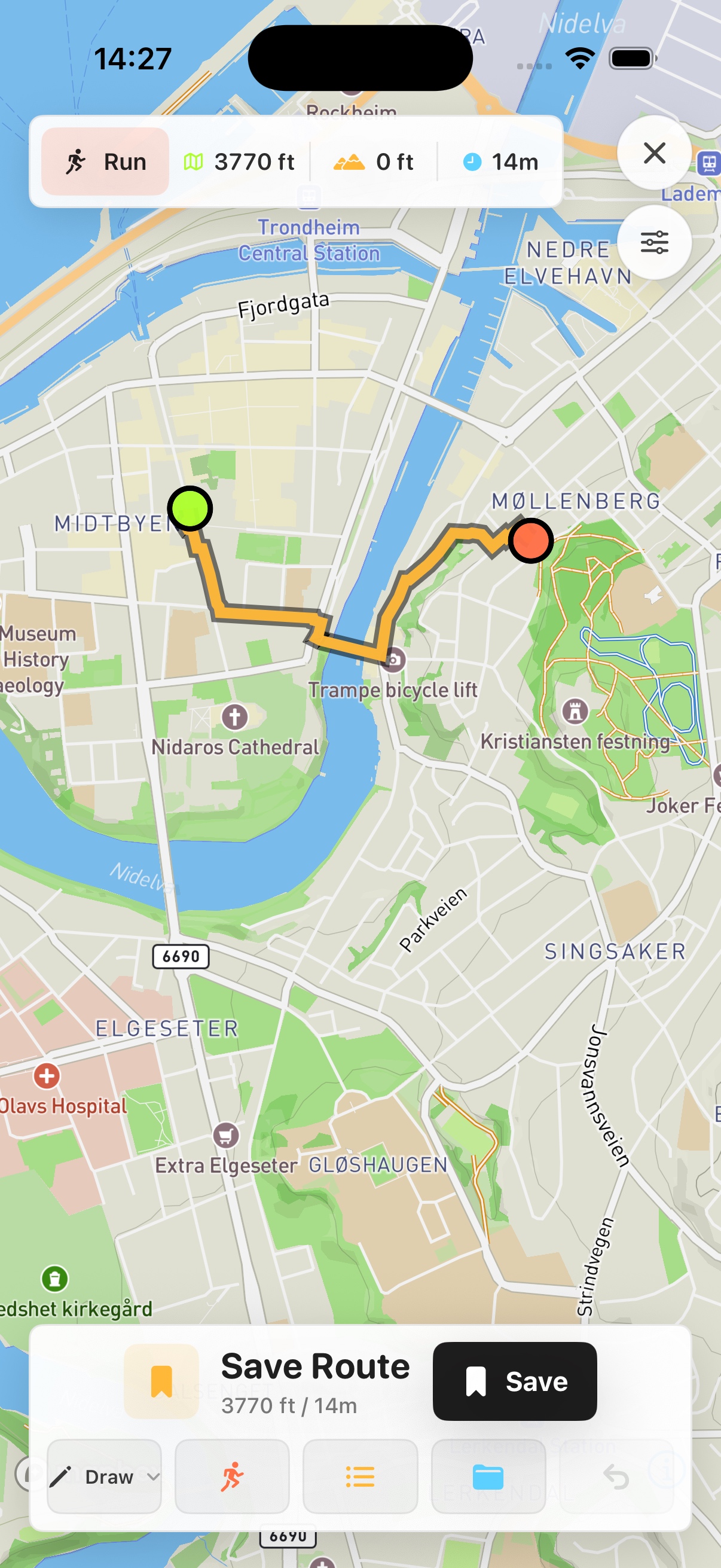
Real Skreppa iPhone route-planning screen showing an example route in Trondheim
Real app example in Trondheim—not the mapped location in this guide.