With your permission, we use Google Analytics and our own usage events to understand visits, routes and membership steps. Signed-in usage events can be linked to your account. Essential features work without analytics. You can change this choice here at any time.
This page uses an earlier catalogue snapshot. Review the current mapped line and measurements before planning; the current catalogue may differ from this record.
Route overview
What the mapped record shows.
Wirral Way is a complete hiking route mapped from OpenStreetMap. It covers 19.5 km as a point to point route.
Route shapepoint-to-point
ActivityHiking
SurfaceCompacted
Descent35 m
Mapped surface mix
Compacted79%Natural7%Paved7%Gravel7%
Before setting out
Use the route as a planning lead.
Map data is not a live report. Check legal access, landowner notices, closures, weather, daylight and your group’s ability. Carry an offline map or appropriate navigation backup.
01
Open the interactive geometry and check the start, finish and route shape.
02
Confirm current access, transport and any seasonal restrictions locally.
03
Add the route to a trip, then layer in weather and a backup plan.
Packing for your outing
Planning a food or drink stop?
Start with the mug and utensils you already own. If you’re filling a gap, compare sizes and cutlery styles before choosing.
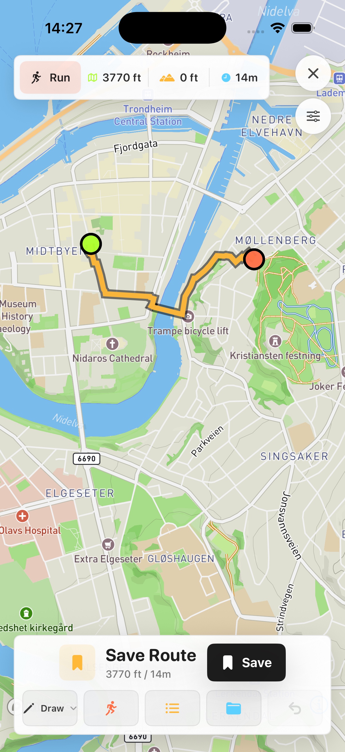
Prefer a native map on your phone? See Skreppa’s iPhone and iPad app, illustrated here with a real route-planning screen. Check the App Store for current features, compatible devices and purchase options.