With your permission, we use Google Analytics and our own usage events to understand visits, routes and membership steps. Signed-in usage events can be linked to your account. Essential features work without analytics. You can change this choice here at any time.
The route outline and mapped measurements use one released record. Council and operator guidance add context; they do not certify current conditions or every part of the line.
Route outline · open the map for detail
This is the longer option in the shortlist: a mapped loop of about 10.8 km near Wells-next-the-Sea. Review the actual line before choosing access; the route is distinct from Holkham Park’s individual coloured trails. Allow time beyond the moving estimate for stops and local conditions.
Getting to the walk
Choose access for the mapped start near Wells-next-the-Sea. Check current parking hours and return transport rather than assuming the Hall entrance is the route start.
Checks for this outing
Follow reserve signs, seasonal dog zones and wildlife cordons.
If adding a beach detour, check current tides and the estate’s beach guidance; the mapped loop is not permission to cross sandbanks.
If you are staying overnight
Holkham’s guidance prohibits camping on the beach and in the woods. Its visitor parking is not overnight parking; book an authorised place to stay separately.
Holkham Circular is a 10.8 km mapped loop near Wells-next-the-Sea. Planning notes connect the released map to council or operator guidance, access checks and a trip you can save.
Route shapeloop
ActivityWalking
SurfaceAsphalt
Descent35.2 m
Mapped surface mix
Paved40%Natural39%Gravel14%Compacted5%Unknown2%
Before setting out
Use the route as a planning lead.
Map data is not a live report. Check legal access, landowner notices, closures, weather, daylight and your group’s ability. Carry an offline map or appropriate navigation backup.
01
Open the interactive geometry and check the start, finish and route shape.
02
Confirm current access, transport and any seasonal restrictions locally.
03
Add the route to a trip, then layer in weather and a backup plan.
Packing for your outing
Planning a food or drink stop?
Start with the mug and utensils you already own. If you’re filling a gap, compare sizes and cutlery styles before choosing.
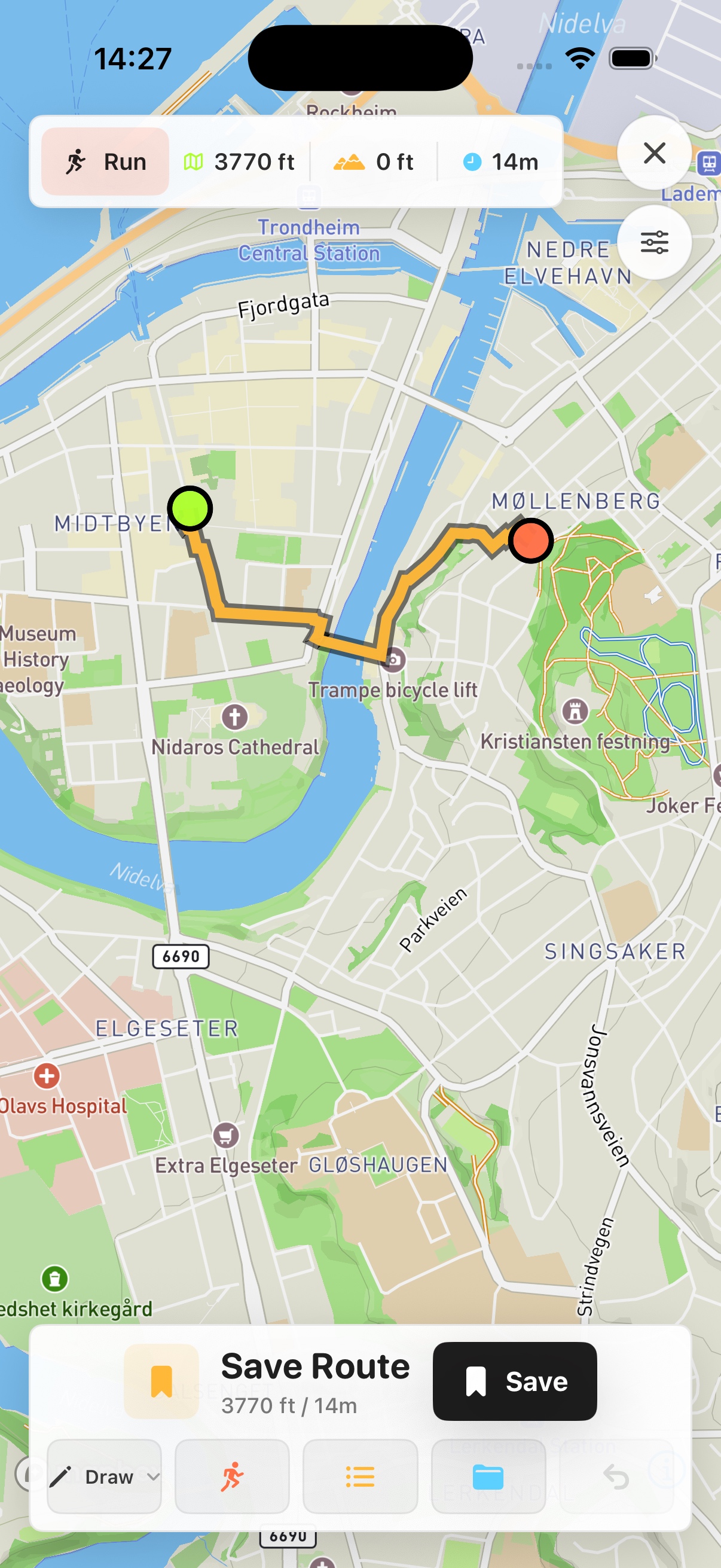
Prefer a native map on your phone? See Skreppa’s iPhone and iPad app, illustrated here with a real route-planning screen. Check the App Store for current features, compatible devices and purchase options.